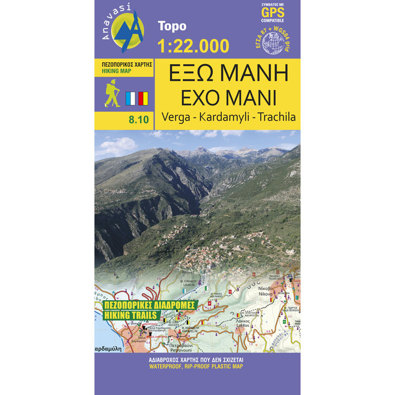
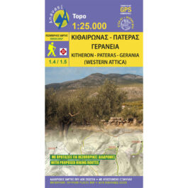
Exo Mani Verga Kardamili Trachila Hiking Map 1: 20,000
8,50 €
Description
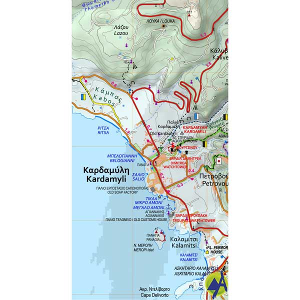
Exo Mani Verga Kardamili Trachila Hiking Map 1:20 000
Hiking map of Exo Mani on a scale of 1:20 000
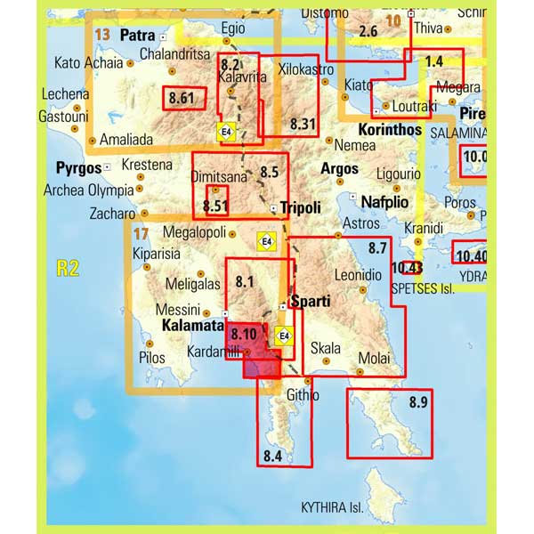
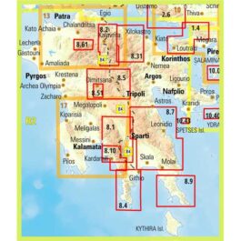
Mani is the middle and southernmost leg of the Peloponnese and is divided between Laconia and Messinia. Its northern and western part, which belongs to the prefecture of Messinia, is called Exo Mani. Exo Mani preserves a treasure of Byzantine and post-Byzantine churches and castles in enchanting landscapes. The new map covers the whole of Exo Mani, i.e. the areas covered by the 3 older maps "Verga-Kambos", "Kardamyli-Stoupa" and "Agios Nikolaos-Trachila". The area has wonderful cobbled paths and is suitable for walking in all seasons of the year, such as Biliovo, the path that connects Sotirianika with Altomira.
Additional information
| Publications | Anavasi |
|---|---|
| Year of publishing | 2021 |


