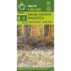

Taygetos Guide with Map 1: 25,000
14,90 €
Description
Taygetos Guide with Map 1:25 000
New hiking guide with 1: 25 000 map of Taygetos
Taygetus forms a majestic series of peaks that stretches for 70 kilometers. From the mountain's dense network of paths, we chose routes that follow the steps of the pilgrims of the Sun god or the Prophet Elias. Paths wrapped in the imposing beauty of the mountain. Strata that borrow the convenient aspects of the relief and the gorges that have historically allowed the transition from one side to the other.
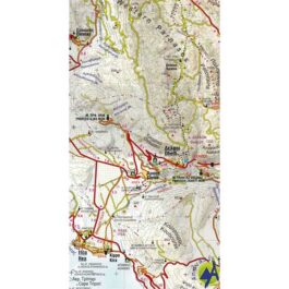
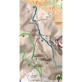
For each route, there is a map, elevation profile, as well as basic information such as walking time, distance, degree of difficulty, vegetation, attractions, possible connections to other trails. The tour of the paths of Taygetos is complemented by photos and the description of the route.
Professor Yiannis Pikoulas presents the evidence of the existence of the most mountainous ancient roads that crossed the Taygetian mountain range with carriages.
In the new guide with a 1:25 000 map of Taygetus we recommend 18 routes, divided into 3 areas: Laconian, Messinian and North side of Taygetus, as well as ancient roads in the chapter Crossing Taygetus by carriage, by Yiannis Pikoulas. Among the 18 routes there are all degrees of difficulty: GREEN = EASY | BLUE = MEDIUM DIFFICULTY | RED = REQUIRED | BLACK = VERY DIFFICULT (for experienced climbers only).
The difficulty depends on the altitude difference, the length and the passability of the path.
Additional information
| Publications | Anavasi |
|---|---|
| Year of publishing | 2021 |