Map of Greece Political and Geophysical Folded 70x100cm
3,00 €
Description
Map of Greece Political and Geophysical Folded 70x100cm
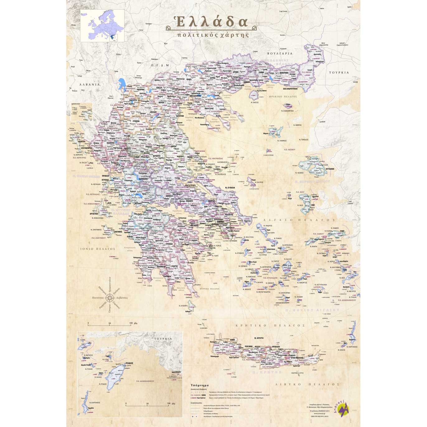
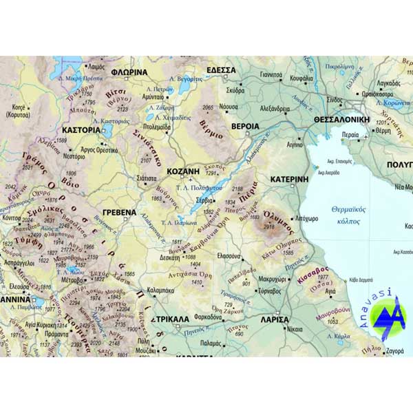
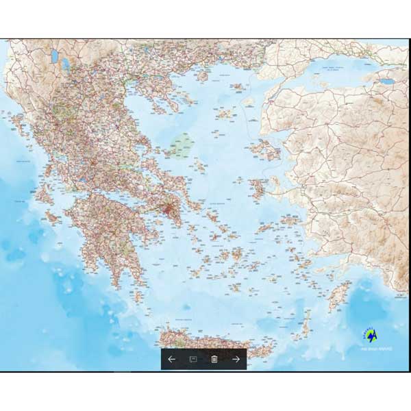
The political and geophysical map of Greece is essential for educational purposes, it gives an overview of the administrative divisions of the country and a general picture of its geographical identity.
The political map on one side is in shades of brown (antique) and shows all administrative boundaries, cities and the main road network.
The geophysical map on the other side shows all the mountains of Greece with their name and elevation, as well as all the major rivers and lakes. The mountains stand out thanks to the light-shaded relief. The colors on this side are the natural contrast of green and blue.
Scale – 1:1 000 000
Additional information
| Publications | Anavasi |
|---|---|
| Year of publishing | 2015 |

