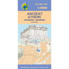


Athens Attica City Map 1: 9,000
2,00 €
Description
Athens Attica City Map 1: 9,000
The center of Athens in a handy pocket map, perfect for your urban explorations!
With the locations of 102 important monuments and archaeological sites, museums and other important buildings of the city. On the back, a road map of the area, with the port of Piraeus and the international airport, Eleftherios Venizelos.
The map extends from the south of the Acropolis and the Hill of the Muses to the main train station and the National Archaeological Museum and east well beyond the hill of Lycabettus. 102 locations – archaeological sites, museums, theaters, churches – are highlighted and listed with their addresses and contact details. The map has metro stations and tram routes with line numbers.
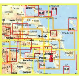
On the back is a map of the city's surroundings showing the road network with metro and rail lines. Coverage includes the port of Piraeus, the city's international airport and Marathon. Descriptions in English about important points of interest with color photos.
Available in English only.
Additional information
| Publications | Anavasi |
|---|---|
| Year of publishing | 2014 |