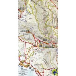
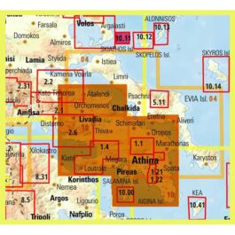
Kyllini Ziria Hiking Map 1: 30,000
8,50 €
Description
Kyllini Ziria Hiking Map 1:30 000
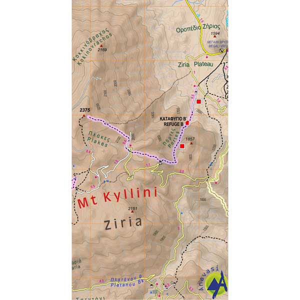
Hiking map for Ziria (Ziria or Kyllini) at a scale of 1:30 000.
The easternmost of the mountains of the northern Peloponnese and the second at the height of Morea with an altitude of 2374 m, Ziria is a sweet and fertile place.
Large plateaus and valleys vary the mountainous landscape while around the mountain there are two large basins, Feneos and Stymfalia, where the homonymous lake nests.
The new map of the Ascent, at a scale of 1: 30,000 and two sides covers the wider area around the mountain, starting from the sea, Akrata, to Kamari and reaches south to Lafka and Psari.
The variety and beauty of the landscapes of Ziria is unique, because here with nature the myth and the history coexist.
Above all, however, it is a genuine hiking map that offers nature tours, through 10 interesting marked routes with detailed information, for distances and travel times.
Additional information
| Publications | Anavasi |
|---|---|
| Year of publishing | 2016 |


