Syros Hiking Map 1: 25,000
5,00 €
Description
Syros Hiking Map 1: 25,000
Hiking map of Syros at a scale of 1:25,000
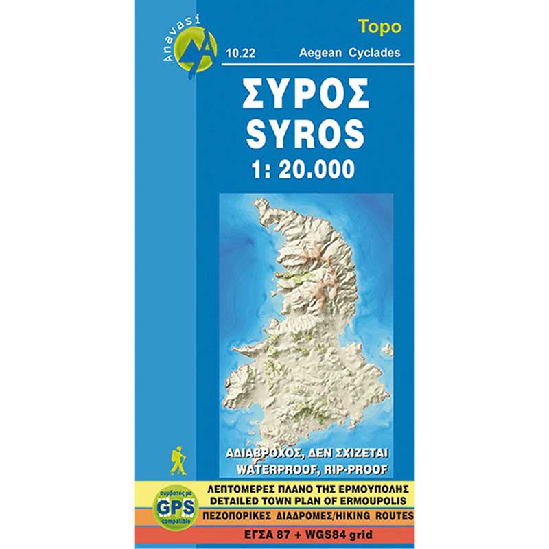
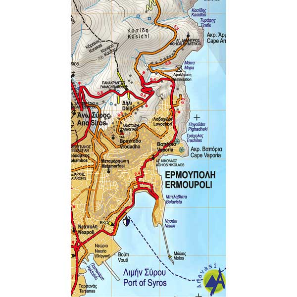
Syros in the Cyclades printed on lightweight, waterproof and tear-resistant, GPS-compatible paper at a scale of 1:20 000 to explore the island on foot or by car. On the back of the map, there is a map of Ermoupolis showing the attractions and places of interest, as well as contact information for various accommodation options.
The relief of the island is projected by the iso-elevations every 10 meters and the photo-shading. The map shows dirt roads in bad condition, difficult routes, and gas stations. The paths are distinguished between distinct, and non-visible, routes. The suggested paths also give the approximate duration. The symbols place the campsites and many other places of interest on the map, such as beaches, archaeological sites, etc. All place names are in the Greek and Latin alphabets.
Additional information
| Publications | Anavasi |
|---|---|
| Year of publishing | 2011 |


