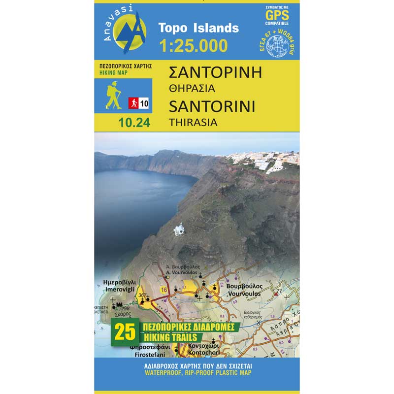
Santorini Hiking Map 1: 25,000
7,50 €
Description
Santorini Hiking Map 1: 25,000
Hiking map of Santorini at a scale of 1:25 000
The image of the Caldera with the dark layers of burnt stone and the colored houses on the brow of the cliff is one that you fall in love with at first sight. A similar charm is exerted by the long sunset from the edge of the cliff to the sea with the remains of the prehistoric Strongyli, Thirasia, Nea and Palea Kameni. Many of the visitors may be satisfied with the visual pleasure, but there are others, more anxious who want to get to know the interior of this place. The new map of the Ascent is addressed to these most "wanted" and suggests hiking routes in every corner, beach, peak and hill of Santorini and Thirasia to help you discover landscapes with still visible signs of traditional rural culture, boxes with dry stones, threshing floors, huts, chapels, inland villages with a well-preserved medieval core (the so-called Kastellia), routes of wonderful views, even deserted beaches in the heart of summer.
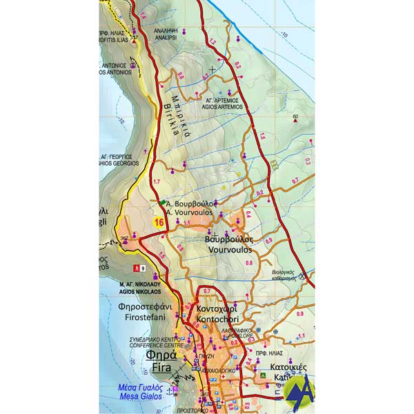
The new map captures its rich information with clarity and detail. On the back of the map, there is a brief description of the 24 proposed hiking trails and a presentation with small texts and images of the two islands, Santorini and Thirasia.
Additional information
| Publications | Anavasi |
|---|---|
| Year of publishing | 2019 |


