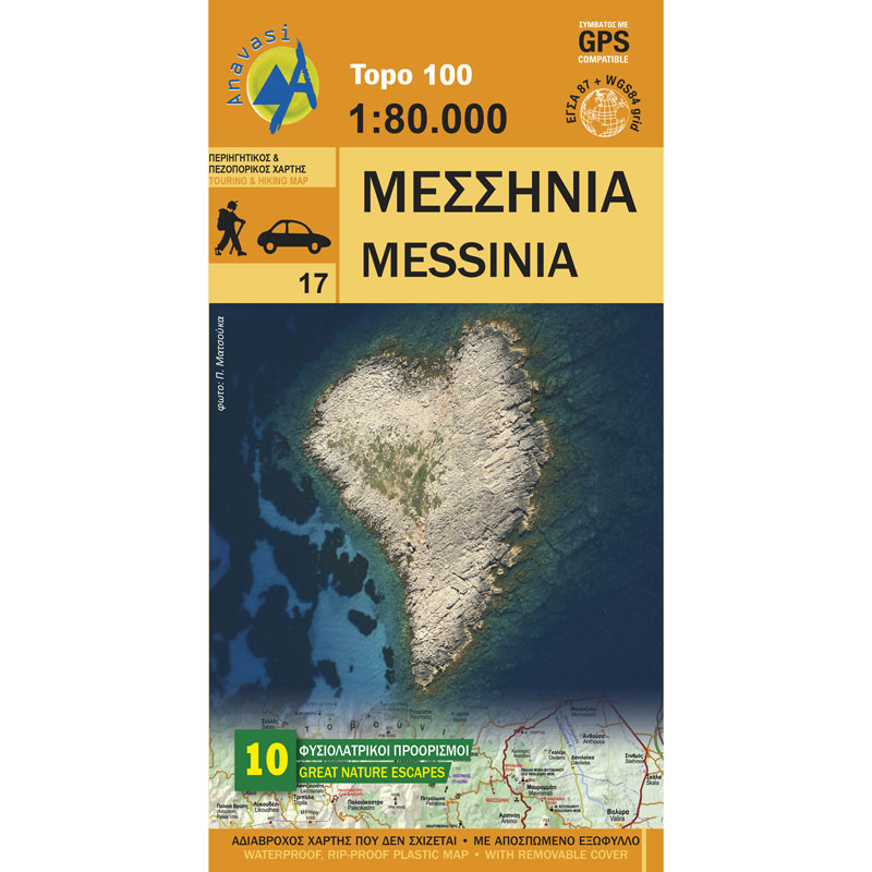
Messinia Road Map 1: 80,000
5,00 €
Description
Messinia Road Map 1: 80,000
Road and sightseeing map of Messinia at a scale of 1:80,000.
The map of Messinia is highly detailed but also easy to read and rich in cultural information. On the side of the map, 10 suggestions for unique destinations in Messinia are printed with short descriptions - among the dozens more that this gifted prefecture of the Peloponnese offers. The map is printed on the amazing polyart paper, which is completely waterproof and tear-proof and comes with a cardboard sleeve with a settlement index.
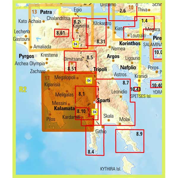
Messinia is a region in the southwest of the Peloponnese and its capital is Kalamata. The Ionian Sea to the west, the Gulf of Messinia to the south and the southernmost point are the Oinousses Islands. To the east, the limit is Taygetos (2407 m.). Other large cities are Kyparissia, Gargaliani, Ithomi, Filiatra, Kardamyli, Petalidi, Pylos, Koroni, Methoni, Meligalas, Chora and Messini.
Additional information
| Publications | Anavasi |
|---|---|
| Year of publishing | 2015 |


