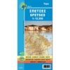
Delos Mykonos and Rhineland Walking Map 1:25.000
7,50 €
Description
Delos Mykonos and Rhineland Walking Map 1:25.000
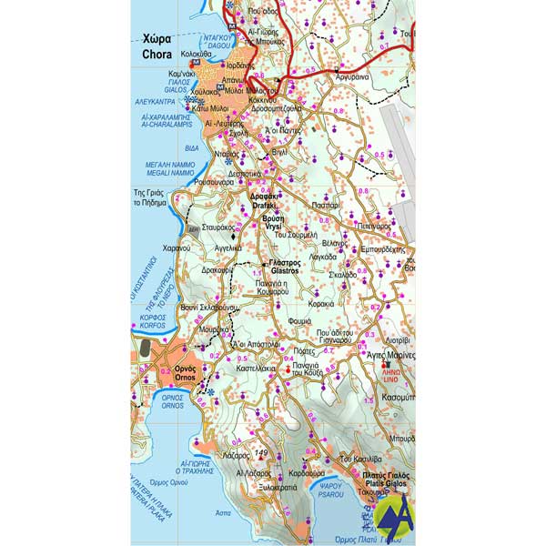
Walking map of Mykonos at a scale of 1:25 000 and of the archaeological site of Delos and Rhenia at a scale of 1:1250, in collaboration with the French archaeological school.
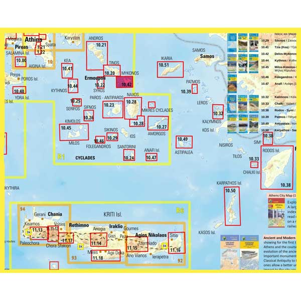
A detailed and accurate map on a scale of 1:25 000, of the well-known island of Mykonos and the two neighboring uninhabited islands of Delos and Rhenia. On the second side there is a detailed plan of the archaeological site of Delos (scale 1:1250) with texts and representations of notable buildings. The depiction of Delos is the work of the French excavation.
Additional information
| Publications | Anavasi |
|---|---|
| Year of publishing | 2015 |


