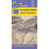


Mani Hiking Map 1: 30,000
8,50 €
Description
Mani Hiking Map 1: 30,000
New updated hiking map 2021 for the area of Mani at a scale of 1:30 000
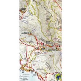
Hiking map of Mani on a scale of 1:30 000. The map will guide you to the dry part of the peninsula known as "Mesa Mani" and up to Cape Tainaro or Kavo Matapa. An unforgettable hike in the southernmost point of the Peloponnese and which in Antiquity was considered the gateway to the underworld. Plutarch and Pausanias mention a small cave that functioned as a necromancer.
Mani is an area of outstanding historical importance for modern Greece and at the same time a whole world of sightseeing, scattered with archaeological sites, Byzantine and post-Byzantine ecclesiastical monuments and castles as well as countless newer towers and tower houses. Characteristic monuments of the area are the cave of Dyros, the Frankish castle of Passavas and the lighthouse on the cape of Tainaros.
As soon as you pass Oitylo or Gythio, the map of Mani will lead you to the microcosms hidden behind the tourist window.
Επιπλέον πληροφορίες
| Publications | Anavasi |
|---|---|
| Year of publishing | 2021 |