Prespa Vitsi Vora Hiking Map 1: 50,000
8,50 €
Description
Prespa Vici Voras Walking Map 1:50 000
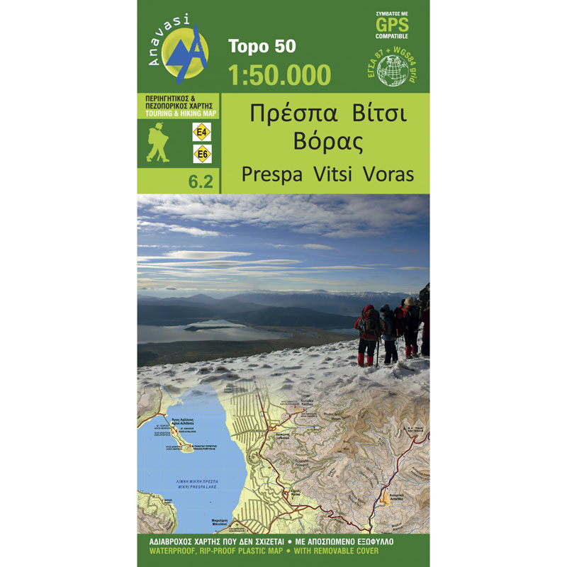
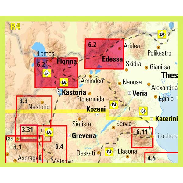
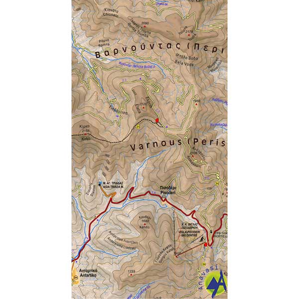
Hiking map for the area of Prespa and the mountains Varnus, Vici and Voras at a scale of 1:50 000.
Prespa is an area where landscapes of unique beauty and great ecological value coexist with remarkable Byzantine monuments and traditional settlements. The large closed basin where the two lakes of the same name (Mikri and Megali Prespa) nestle is surrounded by mountains.
Mount Voras or Kaimaktsalan, a mountain full of surprises. Voras or Kaimaktsalan with a peak at 2524m. is a large mountain complex on the border with P.G.D.M. To the west it ends in the large basin of Amyntaio – Ptolemaida – Kozani, known for its lignite deposits and the lakes, Zazari, Chimaditida, Petron and Vegoritida. On the highest peak of Vora there is a church and a monument to Serbian fallen of the First World War.
Additional information
| Publications | Anavasi |
|---|---|
| Year of publishing | 2014 |


