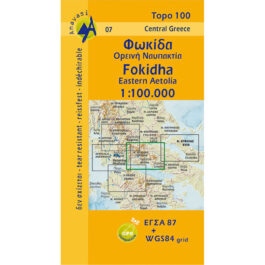
Penteli Hiking Map 1: 16,000
5,50 €
Description
Penteli Hiking Map 1: 16,000
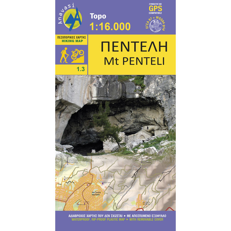
Hiking map of Penteli on a scale of 1:16 000
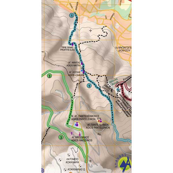
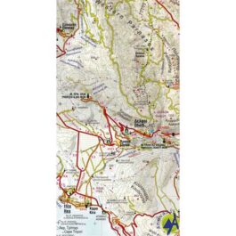
The hiking map of Penteli [1.3] from Anavasi, on a scale of 1:16 000, suggests getting to know the Attic mountain through hiking and cycling routes, starting from its outskirts, Dionysos, Ekali, Kifisia, Penteli and Melissia. In addition to the paths, all the old quarries, caves and monuments are captured, such as the famous stone-cutting road, from where the marbles of the Parthenon were transported.
The map is printed on waterproof polyart paper.
Additional information
| Publications | Anavasi |
|---|---|
| Year of publishing | 2017 |

