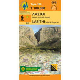


Peloponnese Road and Travel Atlas 1: 50,000
15,00 €
Description
Peloponnese Road and Travel Atlas 1: 50,000
Second volume in the series of Digital Atlases of Greece, based on Geographic Information Systems (GIS) technology, entirely produced with Toponavigator automated paper composition cartographic software, privately manufactured by Anavasi Digital.
All nomenclature on the maps is bilingual (Greek-Latin). Introduction Greek-English-German. Legend Greek-English-French-German.
Two map scales for better searching
12 maps at a scale of 1:250,000
178 maps at a scale of 1:50,000
Double hemp: kilometer in EGSA87 and degrees in WGS84
Complete residential and road network: 3770 towns and villages, 41,381 km of road network (of which 19,780 km asphalt and 21,601 dirt road network).
For the first time a complete mapping of the European Path E4 and the National Paths O31, O32 and O33 (a total of 1,763 km of paths).
Detailed indexes of settlements (with reference to prefecture, municipality and map page) and archaeological and ecclesiastical monuments.
Deluxe version in large size (23.5×33.5).
Additional information
| Publications | Anavasi |
|---|---|
| Author | Τριαντάφυλλος Αδαμακόπουλος |
| Year of publishing | 2009 |
| Pages | 239 |