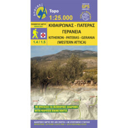


Ikaria Hiking Map 1: 35,000
7,50 €
Description
Ikaria Hiking Map 1: 35,000
Hiking map of Ikaria at a scale of 1:35,000
The new map of Anavasi for Ikaria on a scale of 1: 35,000 captures dozens of paths, the entire road network and the beaches of the island, which is also known for its festivals but also for the longevity of its inhabitants. Printed on waterproof polyart paper
Ikaria has a very well marked network of hiking trails and is an ideal island for pleasant hikes in places with rich vegetation, in deep river valleys with cold and clear water and many hidden pedestals, with plateaus and ridges with great views and nice beaches to finish. one's walks.
Additional information
| Publications | Anavasi |
|---|---|
| Year of publishing | 2016 |