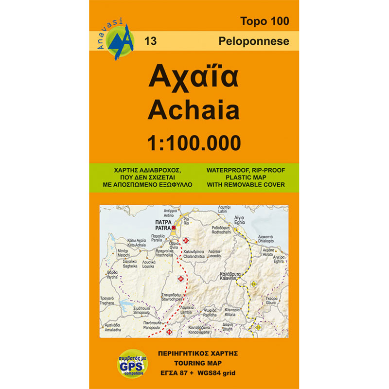
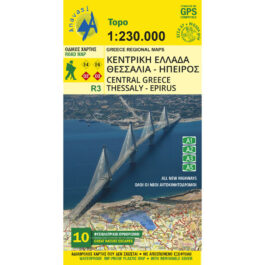
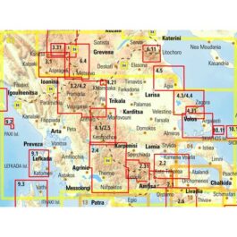
Achaia Road Map 1: 100,000
5,00 €
Description
Achaia Road Map 1: 100 000
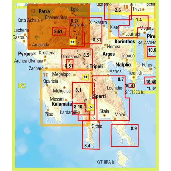
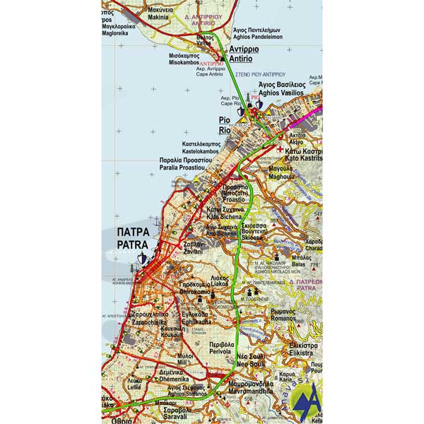
Road and tour map of the region of Achaia at a scale of 1: 100 000, with a plan of Patras.
Achaia is the head of the Peloponnese, although it is now detached together with Ilia in the region of Western Greece. Achaia is endowed with all the goods of the Peloponnesian land. Fertile plains and well-trodden mountains compose beautiful and peaceful landscapes that are suitable for travel all year round. Its capital is Patras, one of the main cities of Greece and a large port in the Gulf of Patras. Other big cities of Achaia are Kiato, Aigio, Kato Achaia, Kalavrita etc
Mount Panachaikos (1926m) rises above the city of Patras. The highest mountains of Achaia are Helmos (2355 m.) And Erymanthos (2224 m.).
Additional information
| Publications | Anavasi |
|---|---|
| Year of publishing | 2011 |

